Walking trails
Trail of St. Adalbert of Prague
Connects Elbląg with the place St. Adalbert died in the Sacred Grove (Święty Gaj). The trail starts at the Elbląg Zdrój railroad station, and then goes through Żuławy Elbląskie and Iława Lakeland. Length of the trail – 42 km.
pttk.elblag.com.pl/szlaki_turystyczne_swietego_wojciecha
Copernicus trail (red)
Part of the E9 European long distance walking trail. 233 km long within the Warmian-Masurian voievodeship, connecting places connected with life and activity of the famous astronomer, Nicholas Copernicus.
pttk.elblag.com.pl/szlaki_turystyczne_kopernikowski
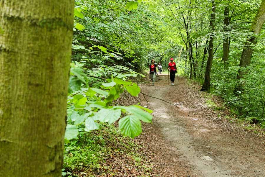
Curcular trail (blue)
Walking trail that runs through the Bażantarnia forest park. Due to specifics of the landscape it is divided in “forest” and “mountain” parts. Length of trail 10 km.
pttk.elblag.com.pl/szlaki_turystyczne_okrezny
Circular trail (yellow)
Walking trail that runs through the Bażantarnia forest park, looping around the park. Length of trail 9 km.
pttk.elblag.com.pl/szlaki_turystyczne_okolny
The Ścieżka Jaszczurek (Lizard Path) trail (green)
Another walking trail in Bażantarnia. Leads to Stagniewo located near Elbląg. Length of trail 7 km.
pttk.elblag.com.pl/szlaki_turystyczne_sciezka_jaszczurek
Blue trail (Tolkmicko – Tolkmicko)
Circular trail running around a large forest complex east of Tolkmicko, it starts and ends in this small fisherman town. Length of trail 18 km.
www.pkwe.pl/?p=p_75&sName=niebieski
Mennonite Trail
The trail leads through places connected with former settlers to Żuławy – the Mennoites. Course: Elbląg-Jegłownik-Fiszewo-Stare Pole-Krzyżanowo-Kławki-Rozgart-Markusy-Balewo-Jurandowo-Żurawie-Tropy-Raczki-Elbląg. Length of trail 63 km.
The Pomeranian Camino de Santiago
Fragment of the international Camino de Santiago that leads from the Santiago de Compostela cathedral in Spain. The Elbląg part is 63 km long and is marked with the characteristic St. Jacobs’ seashells.
Bicycle trails
The International R1 Cycle Route
Route leads from the border with Germany in Kostrzyń to the border with Kaliningrad Oblast in Gronowo. In the Warmian-Masurian Voivodeship it leads through Żuławy Elbląskie, Elbląg Upland and Warmia Lowland. Length of trail - 675 km of which 87 km in the Warmian-Masurian Voivodeship.
The International R64 Cycling Route (Vistula Lagoon Cycling Route)
Route around the Vistula Lagoon. It begins in Piaski and ends in Braniewo. Leads through the Vistula Spit, Żuławy Elbląskie, Elbląg Upland and Warmia Lowland. Length of the route- 187 km, of which 116.6 km in the Warmian-Masurian Voivodeship.
Please note: as the ferry no longer connects parts of the trail in Kępiny Wielkie it is recommended to take a detour to the Pomeranian Voivodeship through Kępa Rybacka and Bielnik Drugi.
Green Velo Eastern Cycling Trail
Almost 2000 km of cycling route running through five Voivodeships of Eastern Poland. The route starts in Elbląg at ul. Stawidłowa, runs, among others, through the Old Town and Bażantarnia, leading to Frombork and Braniewo.
greenvelo.pl/portal/en
Cycling routes of the Local Activity Group “Łączy Nas Kanał Elbląski“:
Green route
A regional route from Elbląg (Rubno Wielkie district) to Iława. Leds through: Nowakowo, Kępa Rybacka, Bielnik II, Janowo, Kazimierzowo, Władysławowo, Wikrowo, Jegłownik, Gronowo Elbląskie, Różany, Zwierzeńskie Pole, Zwierzno, Kępniewo, Brudzędy, Stare Dolno, Święty Gaj, Kwietniewo, Dymnik, Rychliki, Marwicę, Jelonki, Pochylnia Jelenie, Pochylnia Oleśnica, Pochylnia Kąty, Kąty, near Pochylnia Buczyniec, Lepno, Bartno, Kreki, Wielki Dwór, Jarnołtowo, Bądki, Zalewo, Dobrzyki, Jerzwałd, Jeziorno, Siemiany, Szwalewo forestry, Piotrkowo, Starzykowo, Szymbark, Ząbrowo and Kamionka. Length of route 130 km.
Yellow route
A regional route from Elbląg to Goryń in Kisielice municipality. Leds through: Gronowo Elbląskie, Nowina, Przezmark, Pilonę, Myślęcin, Pasieki, Weklice, Aniołowo, Marianka, Pasłęk, Gołąbki, Rogajny, Surowo, Kwitajny, Zielno, Tulno, Kronin, Wójtowizna, Zielonka Pasłęcką, Wakarowo, Sambród, Leśnica, Małdyty, Zajezierze, Jarnołtowo, Bądki, Zalewo, Półwieś, Witoszewo, Bądze, Kamieniec, Rudniki, Olbrachtowo, Olbrachtówko, Michałowo, Susz, Bałoszyce, Łęgowo and Kisielice. Length of route 128.7 km.
Blue route around the Druzno Lake
A local route from Elbląg to Komarowo Żuławskie. Leads through: Raczki Elbląskie, Węgle, Jurandowo, Żółwiniec, Krzewsk, Dzierzgonka, Stankowo, Klepa and Węzina. Length of the route 45.7 km.
Black route
A connecting route from Pasłęk, through Nowiny and Krasin to the Elbląg Canal. Connects the two regional routes marked with green and yellow colors. Length of the route 7.4 km.
Black route
A connecting route from Węzina through Dłużyna, Nowy Dwór, Drużno, Karczowizna and Rodowo to Jelonki. Connects the two regional routes marked with green and blue colors. Length of route 8 km.
Cycling routes of the Elbląg Upland Landscape Park:
Święty Kamień [Holy Stone] Route
It is a circular route that begins and ends in front of Tourist Information Office in Tolkmicko. It goes next to the Nowy Wiek forester’s house, near the Holy Stone, than through Święty Kamień settlement, Chojnowo and Nowinka. Large stretch of the route runs along dirt roads. Length of the reoute 18 km.
Kadyn Route Trail
It is a circular route that begins and ends in Kadyny. Leads mainly through forest roads of the Ebląg Upland Landscape Park, through Kikoły, Janówek, Wysoki Bór, Tolkmicko, Biała Leśniczówka, “Beeches of Elbląg Upland” Reservation, Pagórki and Ostrobrzeg. Length of trail 25 km.
Route to Town Baths
The shortest route from Elbląg to the sole freshwater baths of the city – to the Martwe Lake, in the forest quarter of Rakowo, between Ogrodniki and the Jelenia Valley. Length of trail 18 km.
Rakowo Forests Route
Route runs through the terrains of Ebląg Upland Landscape Park, practically within the city limits of Elbląg. The difference in elevation between its highest and lowest part is 175m. Length of trail 37 km.
Młynary - Pasłęk Route (unmarked trail)
The trail begins and ends in Elbląg, circling a loop through the south-eastern part of the Elbląg Upland. The difference in elevation between its highest and lowest part is 167.8m. Length of the route – 56 km.
Route of Beautiful Vistas (unmarked trail)
The route runs through the very differentiated terrains of the Elbląg Upland Landscape Park. As the name suggests – we encounter many beautiful vistas of the Elbląg Upland. Length of trail 34 km.
Southern Route (unmarked trail)
The route runs through the southern part of the Elbląg Upland. The difference in elevation between its highest and lowest part is 167.8m. Length of the route – 34 km.
Elbląg Upland Route (unmarked trail)
A quite demanding trail that runs on forest, dirt and tarmac roads in different technical condition. The difference in elevation between its highest and lowest part ca. 181 m. Length of the route – 50 km.
Car Routes
Elbląg Canal Route
A car route running along the Elbląg Canal watercourse, gives the possibility of admiring almost all of the interesting places in the Land of the Elbląg Canal. Length of the route 280 km.